11375285
Beschreibung
Mindmap von Benito Román Guerrero Blanco, aktualisiert more than 1 year ago
|
|
Erstellt von Benito Román Guerrero Blanco
vor etwa 7 Jahre
|
|
2.2 THE EARTH´S RELIEF
- CONTINENTAL
RELIEF
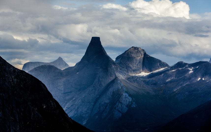
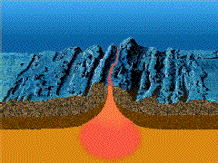
- MOUNTAINS: They are high landforms with
steep sides. Groups of mountains form
mountain ranges.
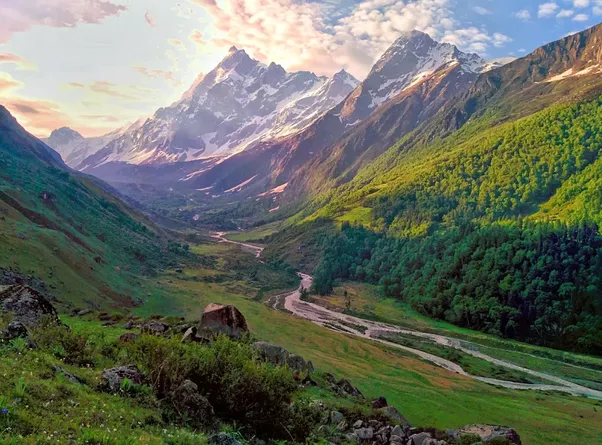
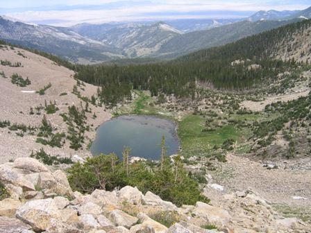
- VALLEYS: They are areas of low land
between mountains. Rivers flow through
many valleys.
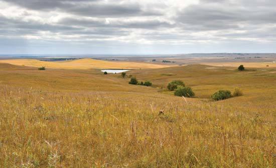
- PLAINS: They are low,flat areas of land. Many
plains are found near the coast,or are
formed by large rivers
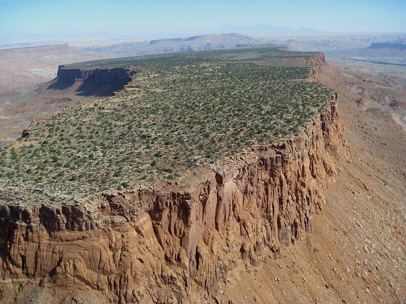
- PLATEAUS: They are high, raised plains
(i.e. found in Tibet, in Asia and Bolivia).
- BASINS They are natural
depressions that are lower than
the land around them.
- MOUNTAINS: They are high landforms with
steep sides. Groups of mountains form
mountain ranges.
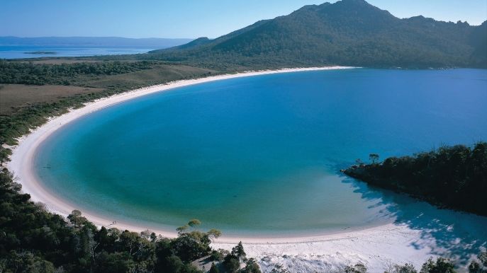
- COASTAL RELIEF
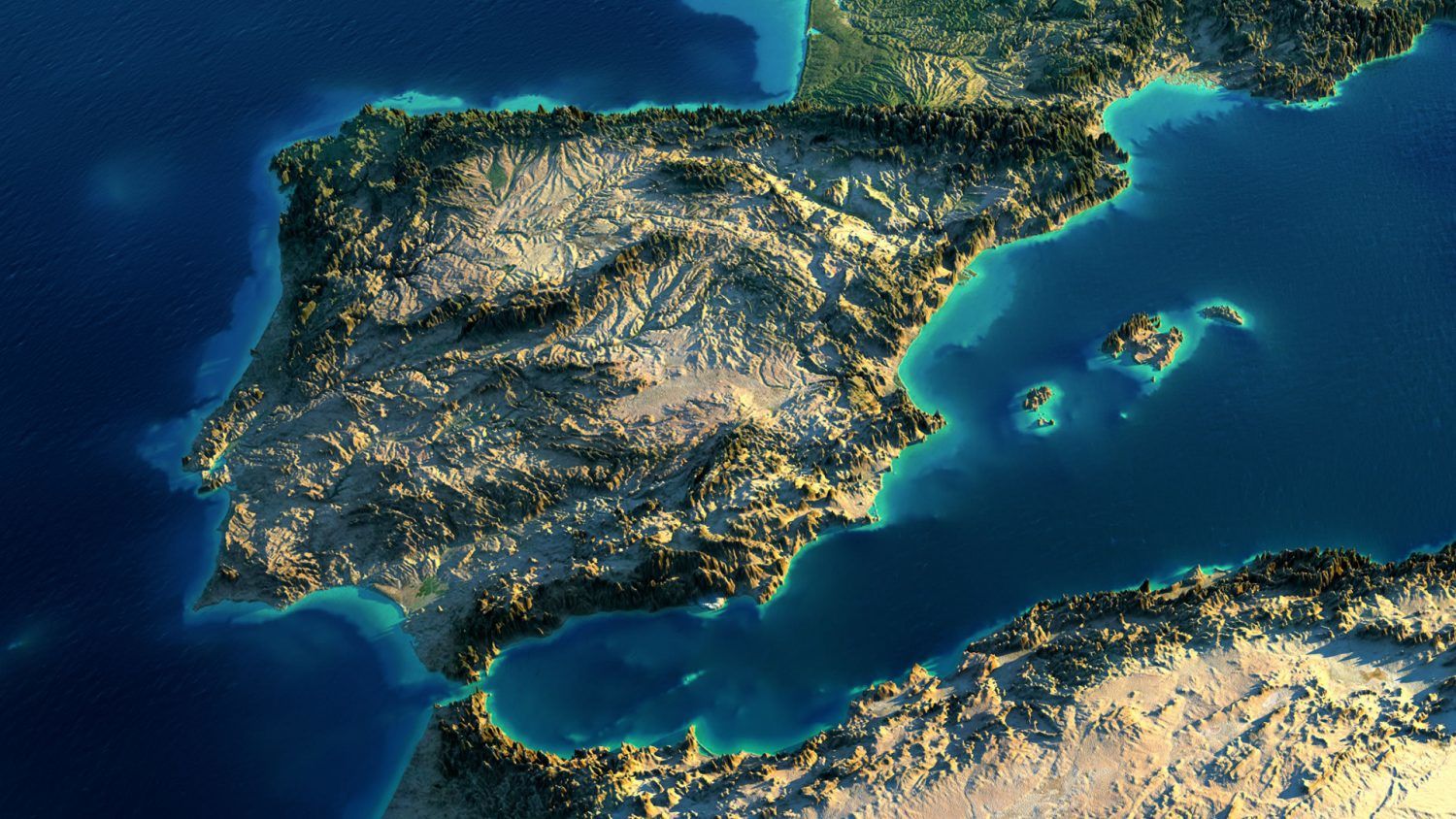
- PENINSULA is an area of land that is mainly
surrounded by water.
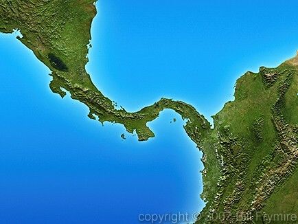
- ISTHMUS connects a peninsula
to a continent.
- CAPE is a strip of land that
extends into the sea.
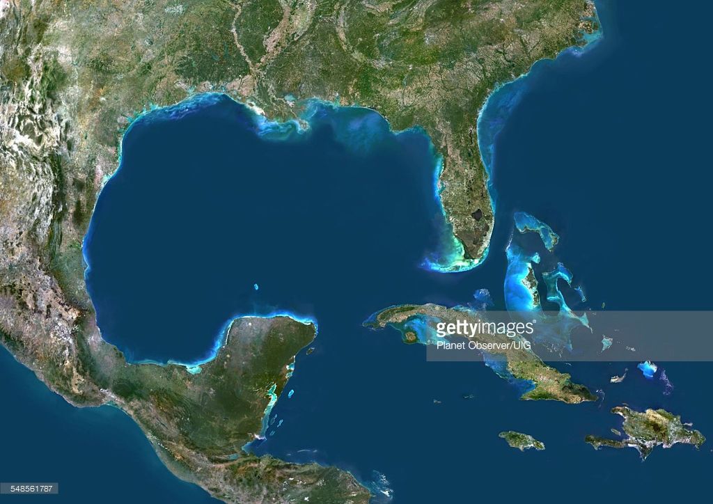
- ISLAND is an area of land
surrounded by water on all sides.
- GULF is an area of the sea that is
partly surrouded by land.
- BAY is a small gulf.
- PENINSULA is an area of land that is mainly
surrounded by water.
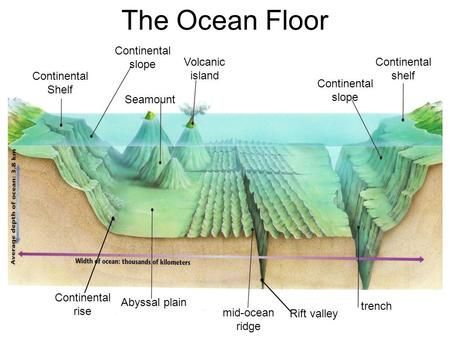
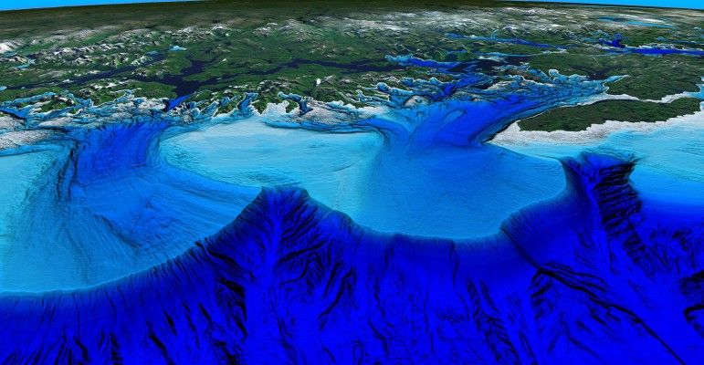
- RELIEF ON THE OCEAN FLOOR
- CONTINENTAL SHELF is a large plateau
that surround a continent reaching a
depth of 200m.
- ABYSSAL PLANES are vast plateaus at
a depth of 3000-7000m.
- MID-OCEAN RIDGES are long mountain that
are found on the abissal plains. Some of the
peaks rise above surface and form islands.
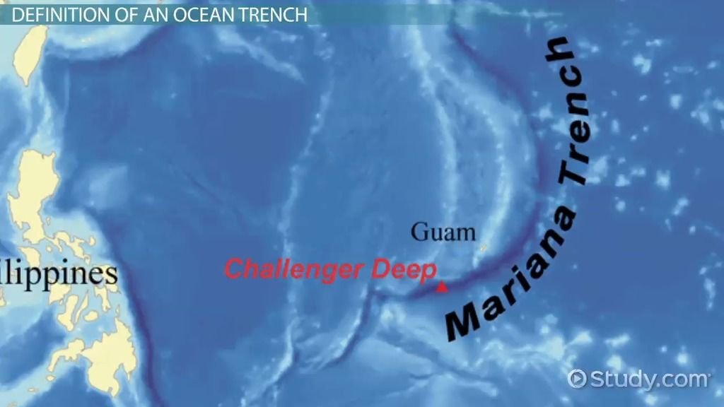
- OCEAN TRENCHES are long, deep cracks in
the ocean floor. The deepest trench is in
the Oceanic Pacific (11000 m).
- CONTINENTAL SLOPE leads down from
the continental shelf into the deeper part
of the ocean.
- CONTINENTAL SHELF is a large plateau
that surround a continent reaching a
depth of 200m.
Medienanhänge
Möchten Sie kostenlos Ihre eigenen Mindmaps mit GoConqr erstellen? Mehr erfahren.